USA – 1455 E Tropicana, Ste 100, Las Vegas, Nevada
Europe – Plaza manos Unidas 5. Block D apartment 6C, Malaga 29010, Spain
Our AI outperforms traditional methods with insights driven by precision and innovation.
Through active learning and expert feedback, our models adapt seamlessly to evolving challenges and real-world complexities.
Seamlessly integrate your custom LLMs and multimodal AI models using our Model Context Protocols (MCP), ensuring accuracy, adaptability, and effortless domain integration across industries.

Prompting targeted sensor activations or expert reviews exactly where they are most needed by more focused, contextualized and actionable logs with both orbital and ground-level perspectives, reducing false positives and improving the signal-to-noise ratio.
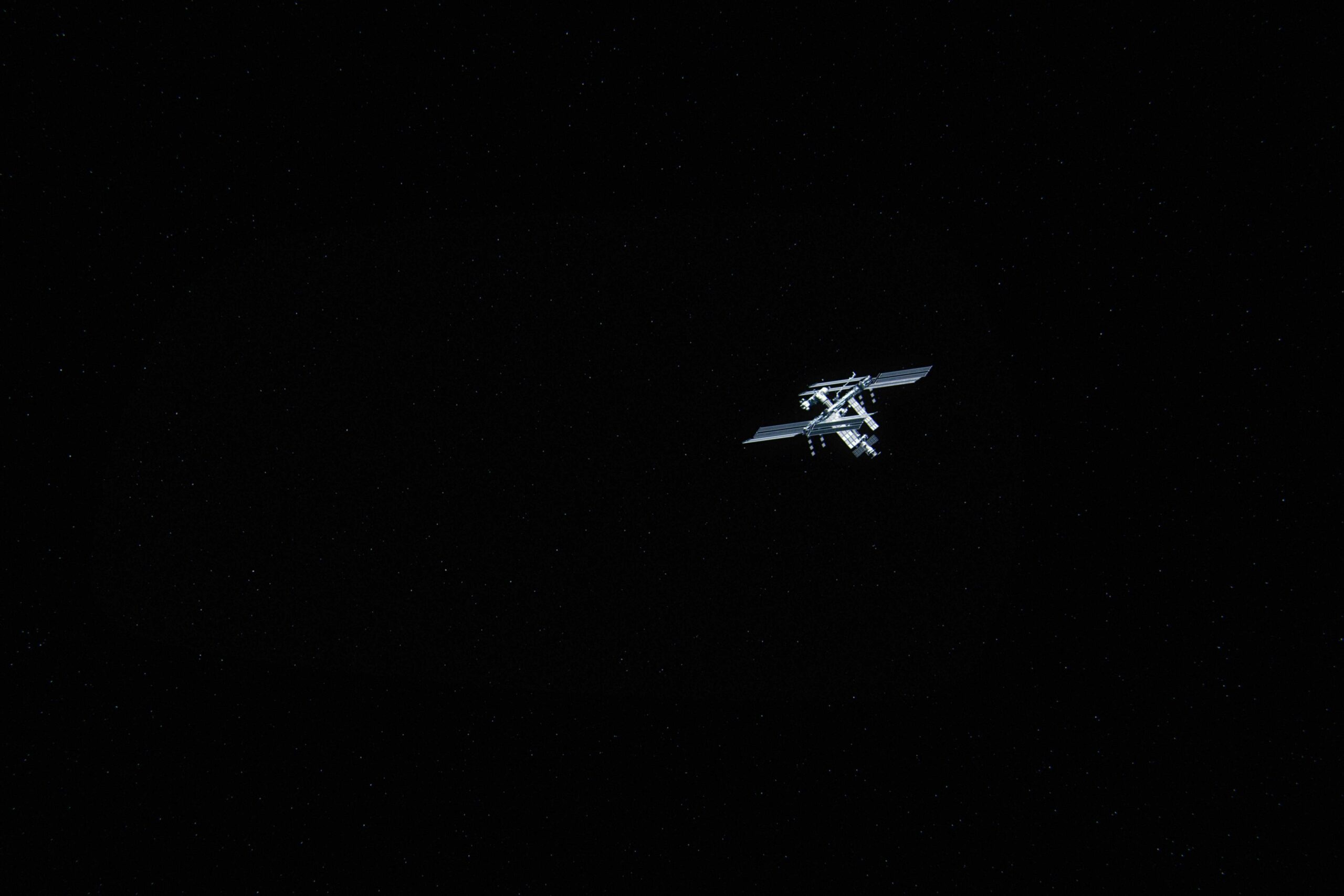
Imagine a world where every log, every alert, and every response is powered by smarter, faster insights-right when you need them most. Orbit-to-On-Site revolutionizes how industries monitor and react to real-world events by seamlessly integrating satellite intelligence with cutting-edge on-site Data.
Our advanced methodology doesn’t just collect data, it learns in real time, zeroing in on critical gaps and triggering expert-level actions exactly where they matter. The result? Ultra-responsive systems that dramatically reduce detection times, deliver cleaner logs, and empower teams to act decisively-no matter the environment. From agriculture to rockfall detection, aquaculture to live events, Orbit-to-On-Site is your all-seeing, always-learning partner for precision, safety, and operational excellence

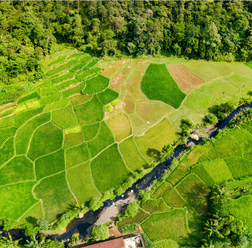

Agriculture is entering a transformative era where technology is reshaping how we manage risk, optimize resources, and adapt to evolving regulations. By integrating geospatial AI, edge sensors, and cloud analytics, Our applications open new possibilities for proactive farm management offering early detection of threats, smarter resource allocation, and automated compliance insights. This modular, scalable system is designed to evolve with your operation, supporting diverse crops and environments while continuously learning from new data and regulatory changes.

Aquaculture is rapidly evolving as operators seek new ways to balance productivity, environmental stewardship, and regulatory demands. By leveraging the latest advances in satellite monitoring, AI-powered video analytics, and real-time data integration, Our applications offer fish and shellfish farmers unprecedented visibility into their operations. These technologies enable early detection of environmental risks, streamline compliance, and support more adaptive, efficient management—opening the door to innovative practices that can be tailored to local conditions and changing market needs.


Modern infrastructure faces mounting challenges from natural hazards like rockfalls, earthflows, landslides, Flooding etc. – events that threaten safety, disrupt operations, and drive up maintenance costs. By combining satellite remote sensing, edge-based AI cameras, and real-time cloud analytics, our applications offer a new level of situational awareness for critical assets such as roads, railways, and construction sites. These technologies enable early detection of slope instability, debris movement, and environmental changes, providing actionable insights that support proactive maintenance, risk mitigation, and rapid emergency response.


USA – 1455 E Tropicana, Ste 100, Las Vegas, Nevada
Europe – Plaza manos Unidas 5. Block D apartment 6C, Malaga 29010, Spain
info@coactive.science
General
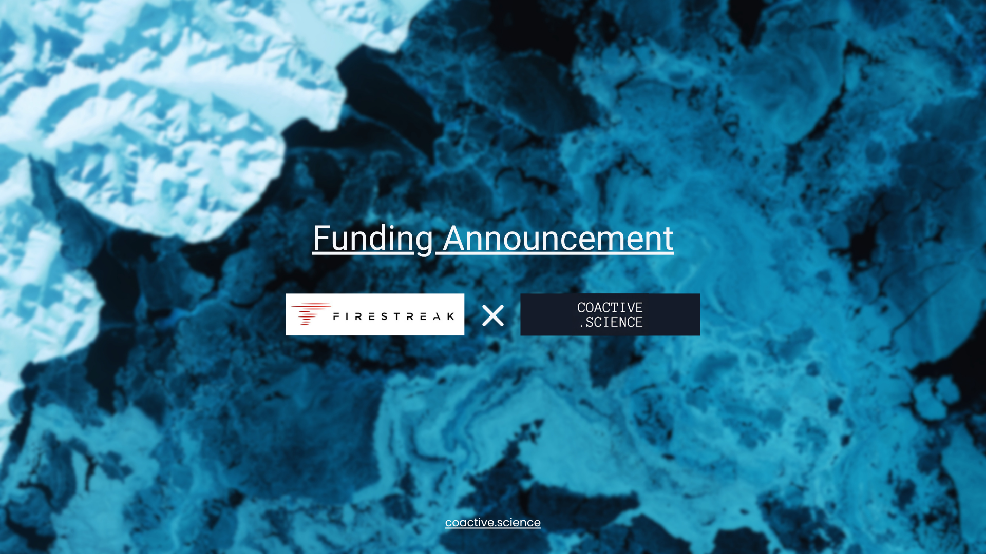
Coactive Science has raised a pre-seed round led by Firestreak… Read More
Infrastructure Risk
Why satellite radar alone isn’t enough, and why that matters… Read More
Aquaculture
Global seafood demand is soaring, yet fish farms must now… Read More
Agriculture
The economic benefits of hyperspectral imaging for farmland investments are… Read More